
Europe is expecting its first significant rains in weeks, but they might not be enough to raise the critically low river levels. This situation will likely continue to affect shipping costs and power supply as another heatwave approaches.
This week, rain is forecasted for the northern UK, the Alps, and parts of central Europe, with some areas anticipating heavy showers. However, the rainfall will be scattered, especially in drought-stricken regions, and is not expected to reverse the damage caused by several weeks of record dryness and extreme heat. MetDesk meteorologist Richard Martin-Barton noted that this rainfall isn’t substantial enough to significantly impact the low river flows.
Throughout Europe, navigational issues along major rivers have required barges to reduce their loads, increased shipping costs, and shifted cargo to more expensive land routes, hampering the transport of chemicals, oil products, and other goods. High water temperatures are also affecting power generation at riverside power plants from France to Hungary, further increasing electricity prices.
In the UK, Aidan McGivern from the UK Met Office mentioned that much of the rain will not fall in the areas that need it most. However, rainfall in the upper Danube may temporarily prevent significant declines in river levels. Yet, it is unlikely to restore flows in the Rhine or other areas that have experienced months of heat and dryness.
Heatwave conditions will continue in central and southeastern Europe this week. Vienna recorded a temperature of 40.8°C on Tuesday, setting a new record for Austria, according to government forecaster GeoSphere. Average temperatures in the region are expected to be 5°C to 8°C above normal for much of the week, as reported by weather intelligence firm Vaisala.
Northwest Europe may experience a temporary break from the heat, but this relief is expected to be short-lived. By early next week, high pressure is likely to return, possibly leading to the continent's fifth significant heatwave this summer, based on forecasts from the European Centre for Medium-Range Weather Forecasts.
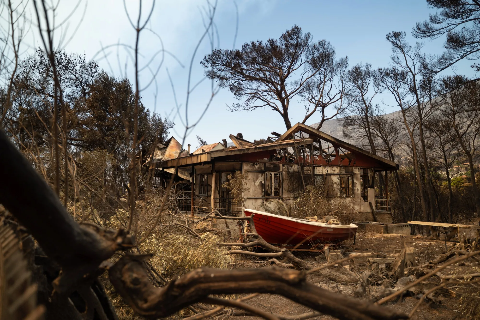
If the forecast holds true, it will inhibit moisture-laden clouds and bring dry, sunny, and abnormally warm weather to many parts of Europe. Vaisala predicts average temperatures next week will be 2°C to 6°C higher than normal in France, Italy, southern Germany, and southeastern Europe, which could raise wildfire risks in some countries.
“Once these conditions are in place, gusty winds and low humidity may allow any spark to spread quickly,” explained Vaisala meteorologist Matthew Dross.
Long-term forecasts suggest that unusually warm weather could continue through the end of August, although more stormy conditions might offer some interruptions as the month progresses.
MetDesk meteorologist Piotr Abramczyk has noted that there is potential for cooler, wetter weather to develop in southeastern Europe around mid-month. Warmer Mediterranean waters could lead to increased rainfall, especially in the Balkans and along the Adriatic coast, raising the risk of excessive precipitation by mid-August.